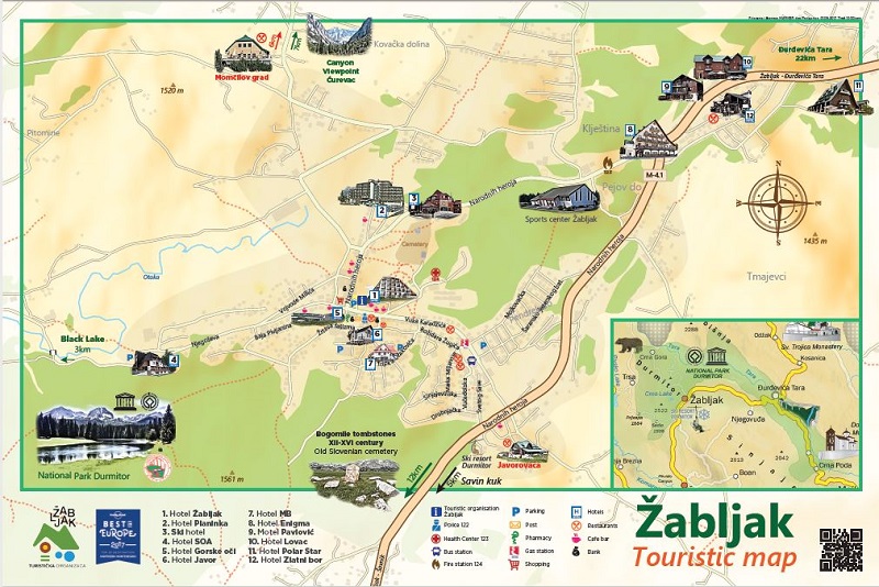
If you need printed map of Durmitor National Park, please visit the INFO stand/cottage in Žabljak city centre (located at parking in front of Hotel Žabljak). These maps are 5 Euros. Alternatively, you can buy the maps in pretty much every store in the center.
Durmitor Ring Map (PDF) The route is not suitable for large camper vans
Audiotour Panoramic Road Durmitor Ring go here
Durmitor circular mountain bike map. This round trail will give you good overview of Durmitor mountain. The route is fast and easy because most of the sections are placed on the paved road. :
Hiking trails in Durmitor national park:
https://hiking.waymarkedtrails.org/#settings?map=14!43.1443!19.0829
Topographic Map:
https://opentopomap.org/#map=13/43.15285/19.14883
Scanned Maps:


